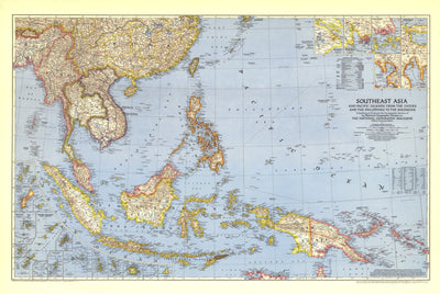
Southeast Asia & the Pacific Islands 1944
$4.99 USD
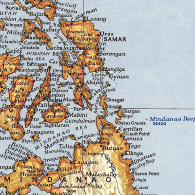
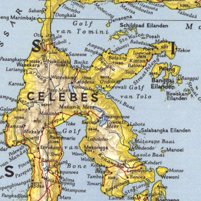
Published in October 1944 during the second world war, this map of Southeast Asia and the Pacific Islands shows boundaries as of September 1, 1939. With over twenty inset maps of islands and cities, this map provides exceptional detail of the region, including administrative areas of the Netherla...
Map bounds
Check nearby mapsWhat you get with Avenza Maps

Reliable mapping tools
Record GPS tracks, add placemarks, add photos, measure distances, and much more.

Locate yourself with GPS
Avenza Maps offline GPS app on your mobile device can locate you on any map, without WiFi or network connectivity.

The best maps by the best publishers
Download professionally curated digital maps on the Avenza Map Store from the best-renowned publishers.