Bundle
2
1
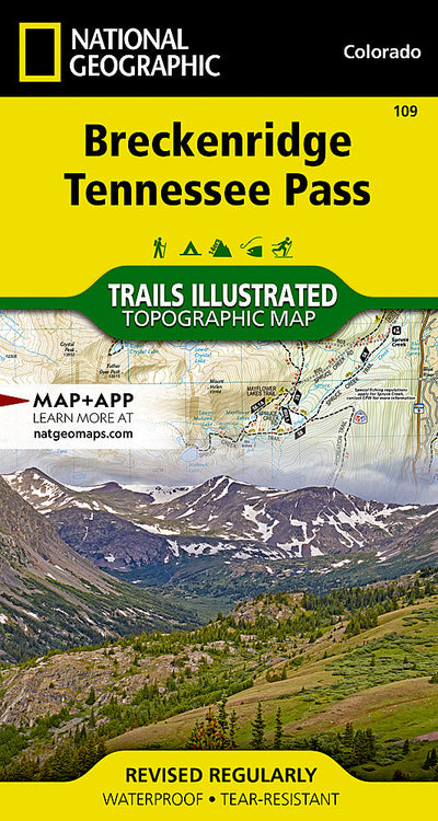
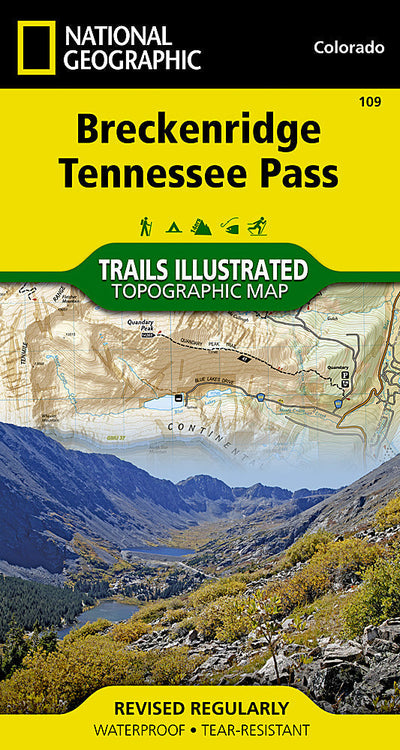
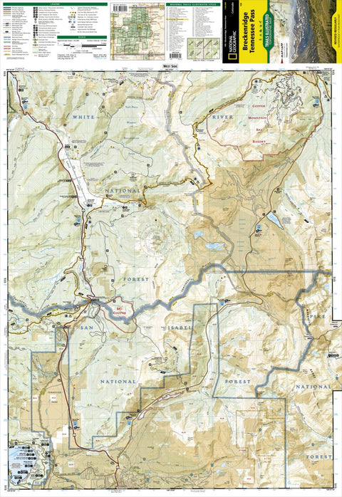
109 :: Breckenridge, Tennessee Pass
- Camping
- Cycling
- Fishing
- Hiking
- Skiing
$14.99 USD
National Geographic’s Trails Illustrated map of Breckenridge and Tennessee Pass delivers unmatched detail and valuable information to assist you in your exploration of this portion of the Continental Divide. Expertly researched and created in partnership with local land management agencies, this ...
Geographic area:
Category:
Parks & Forests
Size:
78.07MB
Publication:
2019
Language:
English
Map bounds
Maps included in this bundle
This bundle contains 2 maps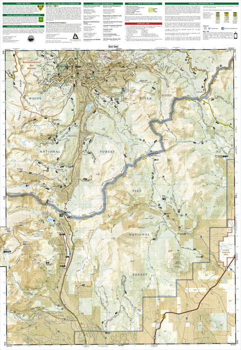
Customer Reviews
2.0 Based on 1 Reviews
Write a Review Ask a Question - Reviews
- Questions
Filter Reviews:
C
07/26/2021
Customer
Ellicott City, Maryland, United States
NG maps
Only showed a fraction of the trails in the area. Pretty much useless.
What you get with Avenza Maps

Reliable mapping tools
Record GPS tracks, add placemarks, add photos, measure distances, and much more.

Locate yourself with GPS
Avenza Maps offline GPS app on your mobile device can locate you on any map, without WiFi or network connectivity.

The best maps by the best publishers
Download professionally curated digital maps on the Avenza Map Store from the best-renowned publishers.