Bundle
2
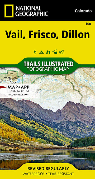
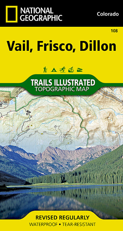
108 :: Vail, Frisco, Dillon
- Camping
- Cycling
- Fishing
- Hiking
- Skiing
$14.99 USD
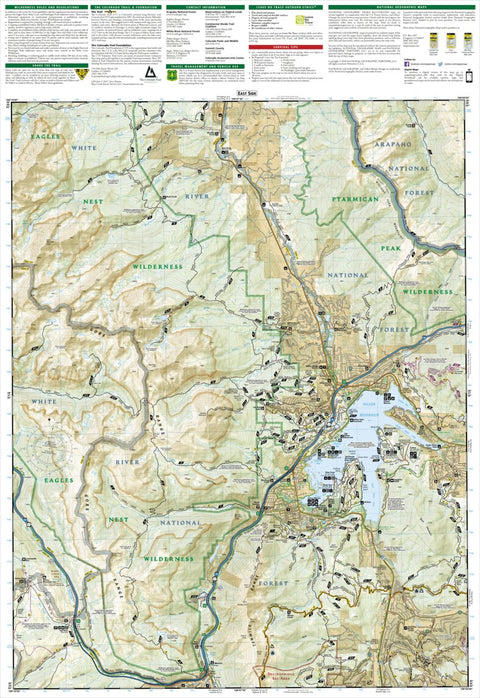
Though best known for winter sports, Vail and its neighboring communities are popular destinations for year-round outdoor recreation. National Geographic’s Trails Illustrated map of Vail, Frisco, and Dillon is an unparalleled tool for exploring this region of the Colorado Rockies. Created in part...
Geographic area:
Category:
Parks & Forests
Size:
85.07MB
Publication:
2018
Language:
English
Map bounds
Maps included in this bundle
This bundle contains 2 maps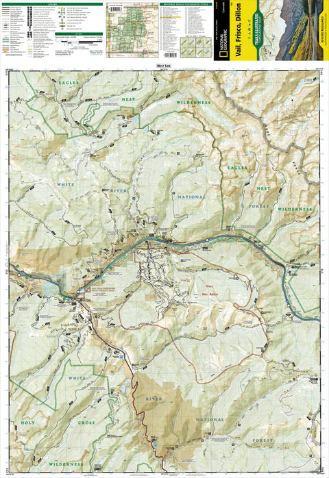
What you get with Avenza Maps

Reliable mapping tools
Record GPS tracks, add placemarks, add photos, measure distances, and much more.

Locate yourself with GPS
Avenza Maps offline GPS app on your mobile device can locate you on any map, without WiFi or network connectivity.

The best maps by the best publishers
Download professionally curated digital maps on the Avenza Map Store from the best-renowned publishers.